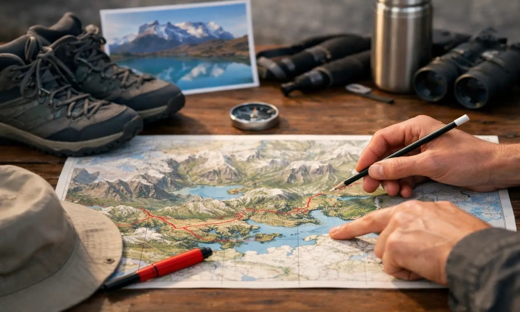
If you are staring at a W Trek itinerary map and wondering how those lines turn into actual hiking days, beds, meals, and transport connections, you are asking the right question. In Torres del Paine, the map is never just about distance. It is about direction, ferry timing, accommodation availability, trail pacing, and how much ground you want to cover before your legs start negotiating.
The W Trek looks simple on paper. Three valleys branch off a central corridor, creating the route’s famous shape. On the ground, though, your experience changes a lot depending on whether you hike west to east or east to west, how many nights you have, and whether you sleep in refugios, campsites, or a mix of both. A good plan starts with the map, then builds around the operational details that make the route work.
How to read a W Trek itinerary map
A standard W Trek itinerary map shows the route between Grey in the west and the Central sector in the east, with Paine Grande, Frances, Cuernos, Chileno, and Torres as the key overnight or route points. The three main scenic highlights are Grey Glacier, the French Valley, and Base Torres. Those are the three strokes of the W.
Most travelers are not hiking one clean line from start to finish without interruption. Instead, they are moving through a sequence of sectors, sometimes with out-and-back sections built into the day. That matters because the map can look shorter than the hiking feels. A line to Grey, for example, may include a return to Paine Grande if you are not sleeping at Grey. The same is true for the Towers viewpoint if you stay farther down the trail.
The map also does not show effort very well. Distances are manageable for fit hikers, but the combination of wind, exposed terrain, elevation gain, and long daylight hours can make one day feel dramatically bigger than another. That is why route sequencing matters just as much as mileage.
The main route on a W Trek itinerary map
The western starting point usually connects through Pudeto, where hikers take the catamaran across Pehoe Lake to Paine Grande. From there, the trail heads northwest toward Grey. The central branch runs from Paine Grande into the French Valley area, with overnight options at Frances or Cuernos. The eastern branch leads toward Chileno and the final climb to Base Torres, before exiting through the Central or Laguna Amarga area.
If you look at a W Trek itinerary map as a logistics plan, there are four movement zones to understand. First comes park access by bus and ferry. Second is the west side corridor between Paine Grande and Grey. Third is the middle section around Frances and Cuernos. Fourth is the eastern approach to the Towers and the park exit.
That framework helps you judge where your longer transfer days are and where the route becomes more flexible. The west side is more schedule-dependent because of the catamaran. The east side is more controlled by your chosen overnight near the Towers.
West to east vs east to west
Both directions work, but they create different pacing.
West to east is often the most intuitive route on the map. You enter via Pudeto, cross by catamaran, and start hiking from Paine Grande. This direction usually builds nicely. You visit Grey early, move through the French Valley section in the middle, and finish with Base Torres near the end. For many travelers, that creates a strong final day or final sunrise push.
East to west starts with the Towers side. This can be a smart choice if your priority is getting the steepest ascent done first while your legs are fresh. It can also help if availability lines up better on the eastern refugios. The trade-off is that your finish depends more on getting back to the ferry side smoothly, and some travelers prefer ending with a simpler exit rather than a boat connection.
On the map, the route looks symmetrical. In practice, it is not. Accommodation inventory, transport schedules, and your appetite for early starts can make one direction much more practical than the other on your dates.
The most common 4-day and 5-day map layouts
A 4-day W Trek is efficient, but it asks more from each hiking day. It usually works best for travelers with solid fitness, light packs, and a clear understanding of daily timing.
One common 4-day west to east flow begins at Paine Grande, continues to Grey or includes Grey as an out-and-back, then moves to the Frances or Cuernos sector, then to Chileno or Central, and finishes with the Base Torres hike before exiting the park. On a map, this keeps the route compact, but it compresses recovery time and leaves less margin for weather, slower pace, or extended viewpoints.
A 5-day W Trek is the sweet spot for many travelers. The map does not change dramatically, but the daily stages become more comfortable. You gain more time in the Grey sector, more flexibility for the French Valley, and a better chance to pace the Towers day without rushing every transition. If you want the iconic route without turning each day into a race against check-in times, five days is usually the stronger plan.
Some travelers go to six days, especially if they want shorter stages or more time for photography. That is not necessary for everyone, but it can be worth it if this trek is one part of a longer Patagonia trip and you do not want to burn all your energy in one push.
Key overnight points on the map
Paine Grande is one of the most important nodes on the route. It connects the ferry crossing with the Grey section and the middle part of the W. On the map, it is more than a lodging point. It is a hinge.
Grey is the westernmost classic overnight. Staying here gives you closer access to Grey Glacier and reduces the amount of backtracking you do in a single day. If Grey is full, many hikers visit as a day hike from Paine Grande, but that creates a longer day.
Frances and Cuernos sit in the middle of the route. They serve similar strategic functions, though the exact hiking times change depending on where you sleep. These sectors position you for the French Valley section and the move eastward.
Chileno is the premium tactical stop for the Towers side because it sits higher up the valley toward Base Torres. If you stay there, your summit day or sunrise hike becomes far more manageable. Central is lower and usually easier to fit into an itinerary, but it makes the Towers push longer.
That is one of the biggest map decisions on the W Trek. A single night at Chileno can reshape your final stage and save a lot of effort on the steepest iconic section of the route.
What the map does not tell you about timing
A W Trek itinerary map gives structure, not certainty. Hiking times depend on weather, trail traffic, your pack weight, and whether you are simply walking through or stopping often for photos and rest. Patagonia wind can turn a moderate section into a draining one. Rain can slow descents. Strong legs help, but timing still has to stay flexible.
Transport timing matters just as much. If you are starting from the west, missing the catamaran changes the day immediately. If you are finishing on the east side, your bus connection out of the park shapes how early you need to descend. The clean route line on the map hides these fixed points.
That is why itinerary planning in Torres del Paine is not just route planning. It is reservation sequencing. Refugios and campsites have limited space, and once key sectors fill up, your ideal map may need to be adjusted to match what is actually available.
How to choose the right version of the route
The best W Trek itinerary map for you depends on three things: how many days you have, how hard you want to hike, and which sectors still have space. If your schedule is tight, a 4-day route can work well, especially with strategic overnights. If this is a bucket-list trip and you want a little breathing room, 5 days usually delivers the better experience.
Fitness matters, but so does style. Some travelers want long, athletic days and minimal downtime. Others want time at viewpoints, relaxed meals in refugios, and a pace that leaves room for weather and scenery. Neither approach is better. The map should reflect how you actually travel, not just what sounds ambitious.
This is also where a booking-first planning process helps. Platforms like Booking Patagonia Travel are useful because the right route is often the one that matches live availability without compromising the core highlights. In Torres del Paine, the best itinerary is not always the theoretical ideal. It is the one you can book, execute smoothly, and enjoy from start to finish.
A practical way to use the map before booking
Start by marking your must-see sections: Grey Glacier, French Valley, and Base Torres. Then decide whether you want four or five hiking days. After that, look at the overnight sectors that make those stages realistic, especially Paine Grande and Chileno. Once those anchors are clear, the rest of the route usually falls into place.
If one sector is unavailable, do not assume the whole trek is off the table. Sometimes changing direction solves the issue. Sometimes shifting from a campsite to a refugio, or vice versa, opens the route. Sometimes an extra night makes the entire map more workable. Flexibility is often the difference between a frustrating planning process and a trip that runs cleanly.
The W Trek rewards preparation because every part of the route connects to the next. Read the map as a sequence, not a sketch. When your hiking stages, lodging, and transport all line up, the trail feels exactly as it should - big, wild, and surprisingly manageable.
"A W Trek map is more than just a trail diagram. Route direction, ferry schedules, accommodation locations, and daily hiking distances all influence your experience on the trail. This guide explains how to read the route, compare 4-day and 5-day itineraries, and choose the best version of the W Trek for your adventure in Torres del Paine."
Use this w trek itinerary map guide to understand routes, hiking times, refugios, campsites, and transport for a smoother Torres del Paine plan.